
Tập tin:Lancashire UK location map.svg

Kích thước bản xem trước PNG này của tập tin SVG: 513×600 điểm ảnh. Độ phân giải khác: 205×240 điểm ảnh | 410×480 điểm ảnh | 657×768 điểm ảnh | 876×1.024 điểm ảnh | 1.751×2.048 điểm ảnh | 1.116×1.305 điểm ảnh.
Tập tin gốc (tập tin SVG, 1.116×1.305 điểm ảnh trên danh nghĩa, kích thước: 2,3 MB)
Tập tin này từ Wikimedia Commons. Trang miêu tả nó ở đấy được sao chép dưới đây. Commons là kho lưu trữ tập tin phương tiện có giấy phép tự do. Bạn có thể tham gia. |
| Miêu tả |
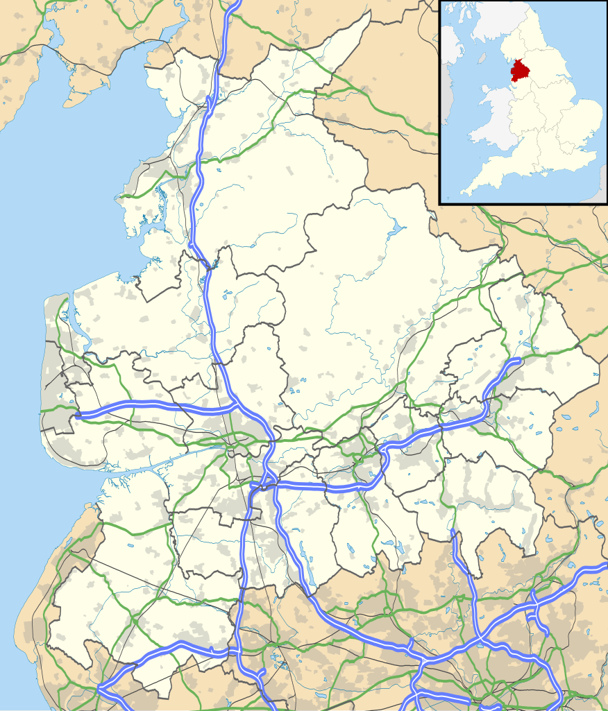
Map of Lancashire, UK with the following information shown:
Equirectangular map projection on WGS 84 datum, with N/S stretched 165% Geographic limits:
|
| Ngày | |
| Nguồn gốc |
|
| Tác giả | Nilfanion, created using Ordnance Survey data |
| Giấy phép (Dùng lại tập tin) |
Tập tin này được phát hành theo Giấy phép Creative Commons Ghi công - Chia sẻ tương tự 3.0 Chưa chuyển đồi Ghi công: Contains Ordnance Survey data © Crown copyright and database right
|
| Phiên bản khác | File:Lancashire UK district map (blank).svg - Blank map |
.svg)
Lịch sử tập tin
Nhấn vào ngày/giờ để xem nội dung tập tin tại thời điểm đó.
| Ngày/giờ | Hình xem trước | Kích cỡ | Thành viên | Miêu tả | |
|---|---|---|---|---|---|
| hiện tại | 18:59, ngày 26 tháng 9 năm 2010 | | 1.116×1.305 (2,3 MB) | Nilfanion | {{Information |Description=Map of Lancashire, UK with the following information shown: *Administrative borders *Coastline, lakes and rivers *Roads and railways *Urban areas Equirectangular map projection on WGS 84 datum, with N/S stretch |
Trang sử dụng tập tin
Có 3 trang tại Wikipedia tiếng Việt có liên kết đến tập tin (không hiển thị trang ở các dự án khác):
Sử dụng tập tin toàn cục
Những wiki sau đang sử dụng tập tin này:
- Trang sử dụng tại ar.wikipedia.org
- Trang sử dụng tại bg.wikipedia.org
- Trang sử dụng tại ceb.wikipedia.org
- Trang sử dụng tại en.wikipedia.org
- Accrington
- Bacup
- Lancaster, Lancashire
- Preston, Lancashire
- Chorley
- Astley Hall, Chorley
- Blackpool
- Read, Lancashire
- Ormskirk
- Burnley
- Galgate
- Heysham
- Blackburn
- Barnoldswick
- Darwen
- Clitheroe
- Parbold
- Adlington, Lancashire
- Kirkham, Lancashire
- Lytham St Annes
- Longridge
- Poulton-le-Fylde
- Carnforth
- Reedley Hallows
- Up Holland
- Padiham
- Clayton-le-Moors
- Brierfield, Lancashire
- Oswaldtwistle
- Fleetwood
- Whalley, Lancashire
- Cleveleys
- Centre points of the United Kingdom
- Stonyhurst
- Bolton-le-Sands
- Haslingden
- River Wyre
- Lancashire Infantry Museum
- Higham, Lancashire
- Nelson, Lancashire
- Colne
- Wycoller
- Bleasdale
- Scarisbrick
- Knott End-on-Sea
- Great Altcar
- List of places in Lancashire
Xem thêm các trang toàn cục sử dụng tập tin này.