
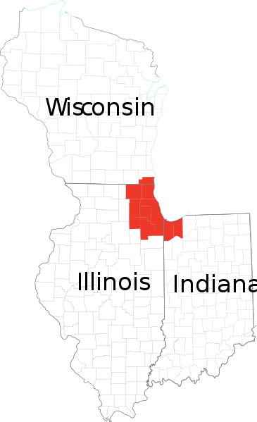
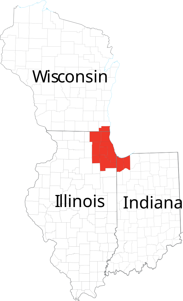
Tập tin:Chicagoland Map.svg

Kích thước bản xem trước PNG này của tập tin SVG: 365×599 điểm ảnh. Độ phân giải khác: 146×240 điểm ảnh | 292×480 điểm ảnh | 468×768 điểm ảnh | 624×1.024 điểm ảnh | 1.247×2.048 điểm ảnh | 2.082×3.418 điểm ảnh.
Tập tin gốc (tập tin SVG, 2.082×3.418 điểm ảnh trên danh nghĩa, kích thước: 362 kB)
Tập tin này từ Wikimedia Commons. Trang miêu tả nó ở đấy được sao chép dưới đây. Commons là kho lưu trữ tập tin phương tiện có giấy phép tự do. Bạn có thể tham gia. |
| Miêu tả | Derived from maps obtained from [1]. Combined in en:Adobe Illustrator and exported to SVG. | |||
| Nguồn gốc | ||||
| Tác giả | ||||
| Giấy phép (Dùng lại tập tin) |
|
Lịch sử tập tin
Nhấn vào ngày/giờ để xem nội dung tập tin tại thời điểm đó.
| Ngày/giờ | Hình xem trước | Kích cỡ | Thành viên | Miêu tả | |
|---|---|---|---|---|---|
| hiện tại | 13:41, ngày 24 tháng 2 năm 2007 | | 2.082×3.418 (362 kB) | Ocuish | {{Information |Description=Derived from maps obtained from [http://nationalatlas.gov/printable/reference.html]. Combined in en:Adobe Illustrator and exported to SVG. en:Category:Illinois mapsen:Category:Indiana maps[[:en:Category:Wisconsi |
Trang sử dụng tập tin
Có 1 trang tại Wikipedia tiếng Việt có liên kết đến tập tin (không hiển thị trang ở các dự án khác):
Sử dụng tập tin toàn cục
Những wiki sau đang sử dụng tập tin này:
- Trang sử dụng tại cs.wikipedia.org
- Trang sử dụng tại en.wikipedia.org
- Trang sử dụng tại fr.wikipedia.org
- Trang sử dụng tại ja.wikipedia.org
- Trang sử dụng tại ko.wikipedia.org
- Trang sử dụng tại ru.wikipedia.org
- Trang sử dụng tại tr.wikipedia.org