
Tập tin:Millennium Island, Kiribati.jpg
Tập tin gốc (2.832×4.256 điểm ảnh, kích thước tập tin: 6,48 MB, kiểu MIME: image/jpeg)
Tập tin này từ Wikimedia Commons. Trang miêu tả nó ở đấy được sao chép dưới đây. Commons là kho lưu trữ tập tin phương tiện có giấy phép tự do. Bạn có thể tham gia. |
Miêu tả
| Miêu tả |
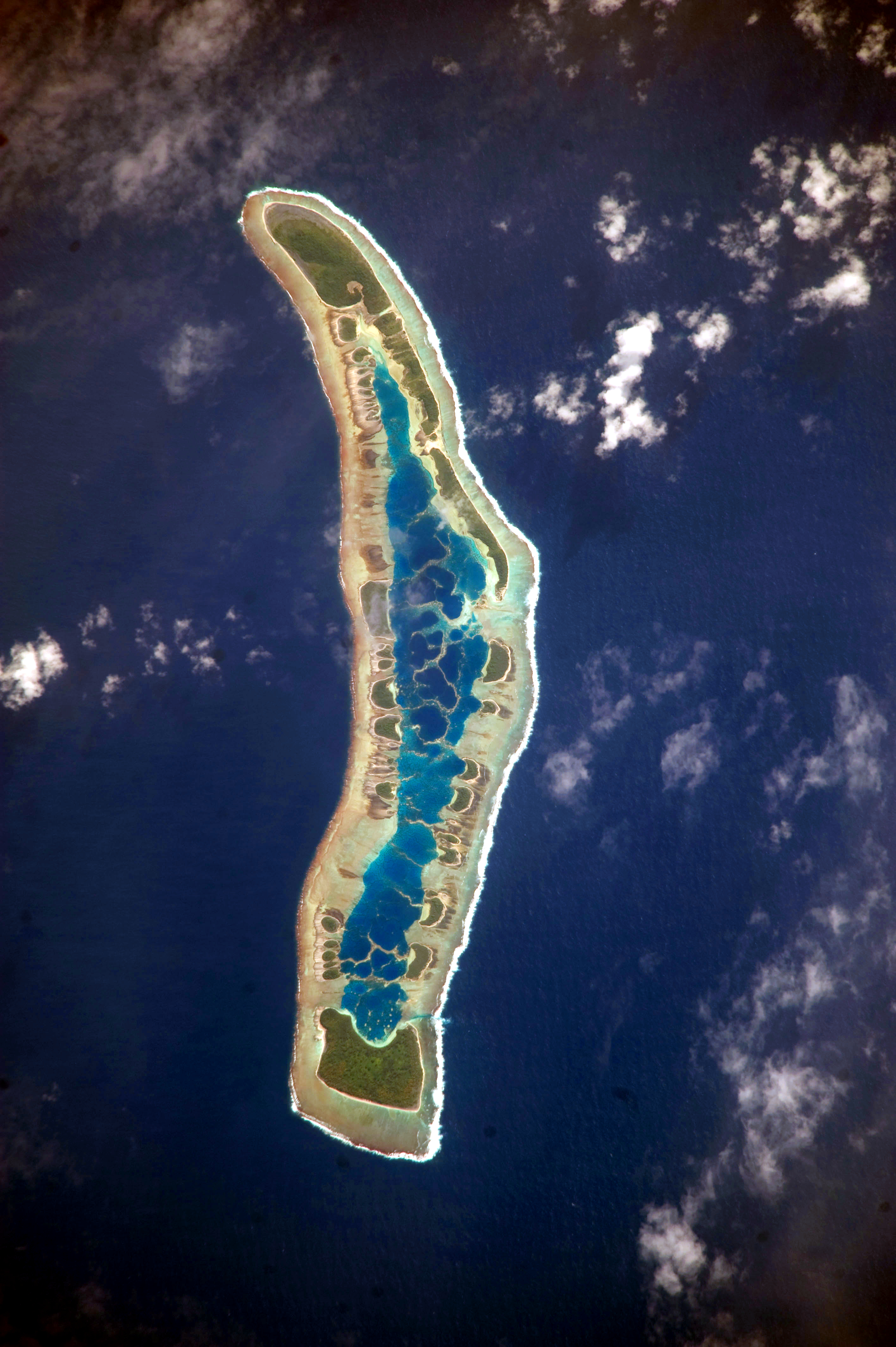
English: The islets of Millennium Island are readily visible in this astronaut photograph as irregular green vegetated areas surrounding the inner lagoon. The shallow lagoon waters are a lighter blue than the deeper surrounding ocean water; tan linear “fingers” within the lagoon are the tops of corals. The two largest islets are Nake Islet and South Islet, located at the north and south ends of Millennium Island respectively.
Français : Vue satellite de l'île du Millénaire dans les Kiribati, où l'on peut distinguer ses différents îlots, son lagon intérieur où des couleurs plus claires indiquent une profondeur plus faible ainsi que sa végétation dense sur certains îlots.
|
||||||||||||||||||||||||||||||||||||||||||||||||||||||
| Ngày | |||||||||||||||||||||||||||||||||||||||||||||||||||||||
| Nguồn gốc | NASA Earth Observatory | ||||||||||||||||||||||||||||||||||||||||||||||||||||||
| Tác giả | Image taken by the NASA Expedition 20 crew | ||||||||||||||||||||||||||||||||||||||||||||||||||||||
| Vị trí máy chụp hình | | Xem hình này và các hình ảnh lân cận trên: OpenStreetMap |
|---|
This image or video was catalogued by Johnson Space Center of the United States National Aeronautics and Space Administration (NASA) under Photo ID: ISS020-E-16279. This tag does not indicate the copyright status of the attached work. A normal copyright tag is still required. See Commons:Licensing. Other languages:
|
This image was acquired with a Nikon D3 digital camera fitted with an 800 mm lens, and is provided by the ISS Crew Earth Observations experiment and Image Science & Analysis Laboratory, Johnson Space Center. Instrument: ISS - Digital Camera
Giấy phép
| This file is in the public domain in the United States because it was solely created by NASA. NASA copyright policy states that "NASA material is not protected by copyright unless noted". (See Template:PD-USGov, NASA copyright policy page or JPL Image Use Policy.) | ||
 |
Warnings:
|
Lịch sử tập tin
Nhấn vào ngày/giờ để xem nội dung tập tin tại thời điểm đó.
| Ngày/giờ | Hình xem trước | Kích cỡ | Thành viên | Miêu tả | |
|---|---|---|---|---|---|
| hiện tại | 12:04, ngày 13 tháng 6 năm 2017 | | 2.832×4.256 (6,48 MB) | SteinsplitterBot | Bot: Image rotated by 90° |
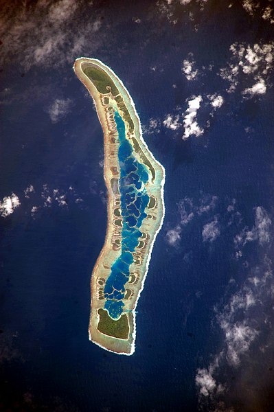
| 09:34, ngày 5 tháng 10 năm 2010 |  | 4.256×2.832 (6,47 MB) | Originalwana | higher res | |
| 09:56, ngày 13 tháng 7 năm 2009 |  | 1.000×624 (486 kB) | Originalwana | {{Information |Description={{en|1=The islets of Millennium Island are readily visible in this astronaut photograph as irregular green vegetated areas surrounding the inner lagoon. The shallow lagoon waters are a lighter blue than the deeper surrounding oc |
Trang sử dụng tập tin
Sử dụng tập tin toàn cục
Những wiki sau đang sử dụng tập tin này:
- Trang sử dụng tại ar.wikipedia.org
- Trang sử dụng tại be.wikipedia.org
- Trang sử dụng tại ca.wikipedia.org
- Trang sử dụng tại en.wikipedia.org
- Trang sử dụng tại et.wikipedia.org
- Trang sử dụng tại fr.wikipedia.org
- Trang sử dụng tại hr.wikipedia.org
- Trang sử dụng tại id.wikipedia.org
- Trang sử dụng tại pl.wikipedia.org
- Trang sử dụng tại pt.wikipedia.org
- Trang sử dụng tại ru.wikipedia.org
- Trang sử dụng tại th.wikipedia.org
- Trang sử dụng tại tr.wikipedia.org