English: Romanian Regions (this file must be renamed because
Regiuni Româneşti means "Romanian regions". Renamed as
Regiuni istorice în România și vecinătate meaning "Historic regions in Romania and neighborough"). This map is not political and show not irrendentist claims but only lands where Romanians lived. I created a map who follows ethnographic and geographical regions as Romanians view them, or as they politically created them when the international situation allow them to do so. Many of these regions where lived, or still lived by Romanians and the map do not claim that those regions belong only to a nation. I tried to exclude borders or provinces who wore a consequence of foreign rule as Bukovina, or regions who wore purely political ones, with no link to the Romanian population as Partium (many confusing Partium with Crişana). I will put ethnic data for the regions who includes parts of other states, just in case, to avoid debate(Take out „_” from the tiny url).
•Moldova:
I drew the map using Moldova in time of Stephen the Great.
https://upload.wikimedia.org/wikipedia/commons/b/b4/Moldova_Stefan_cel_Mare.png
(Base map)
Ethnic situation:
2001 Cernăuţi Oblast http://historymaps.ro/?p=2301, http://historymaps.ro/?p=2302
2001 Odessa Oblast(Bessarabia part) http://historymaps.ro/?p=2431, http://historymaps.ro/?p=24324
1930 North Bucovina http://historymaps.ro/?p=2263
1930 Bessarabia(modern) http://tinyurl._com/qypdual
2004 Republic of Moldova http://tinyurl._com/nj9k34g
•Pocuţia:
I drew her as part of Moldova after the map above, but with a more precise border.
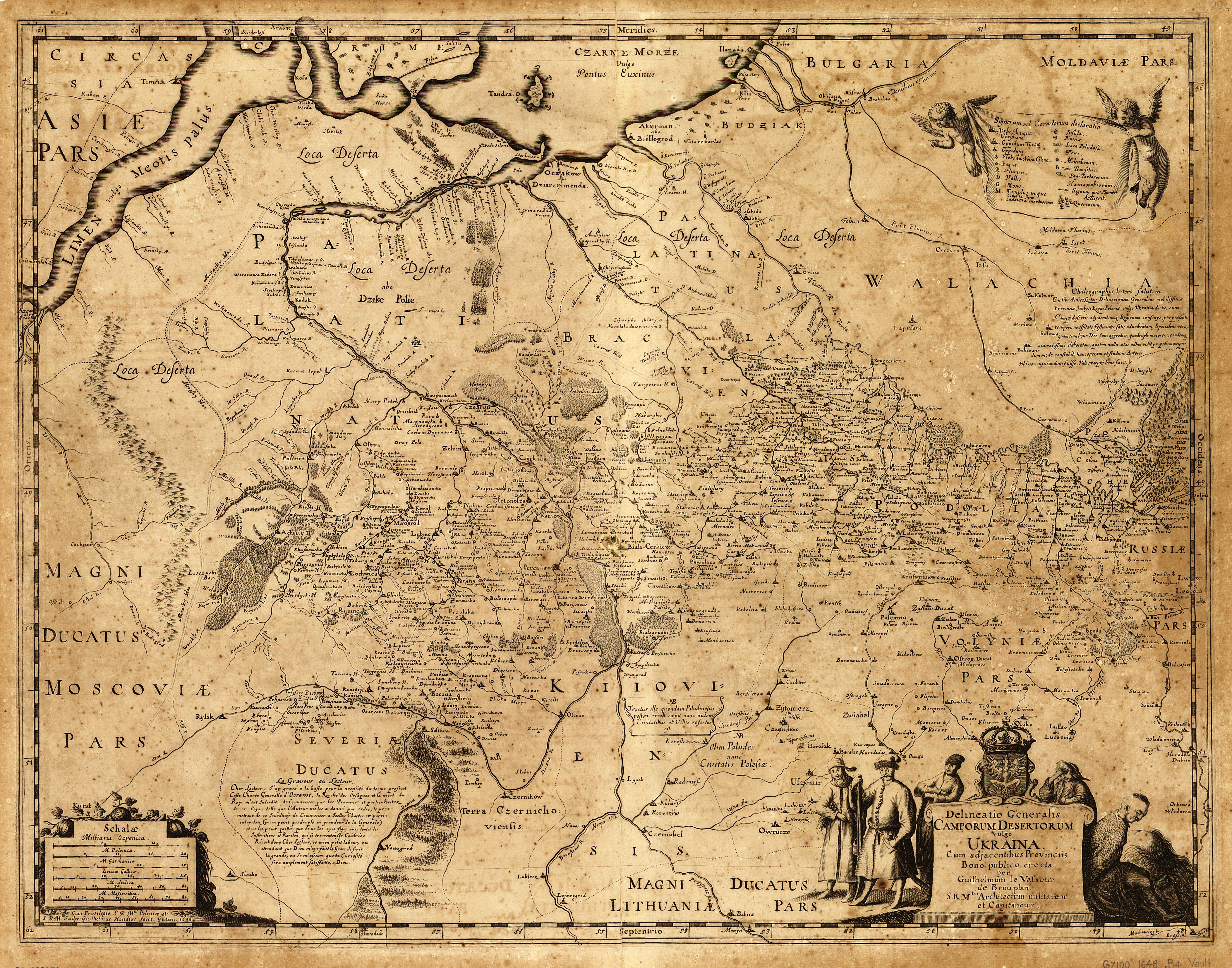
https://upload.wikimedia.org/wikipedia/commons/a/ac/Beauplan_Poland_XVII_map.jpg (used to find Pocutia exact border on Bistrica River)
Ethnic situation:
2001 Ukraine census( Romanians don't live there in a community) http://tinyurl._com/o3rcd76
•Timoc:
I hatched the scars populated area (with Romanians) from Bulgaria, i drew the area were the Romanian population had a big minority or a majority(in some sources).
https://cersipamantromanesc.files.wordpress.com/2011/02/tribalia.jpg
http://www.formula-as.ro/magazine/attachments/829/harta_1217251476-large.jpgh
Ethnic situation:
1910 Bulgaria http://historymaps.ro/?p=3232
1941 Estimated(not census) Romanian population(how many they live) http://historymaps.ro/?p=1862
2004 Census of Serbia(Romanians from Timoc in purple) http://tinyurl._com/odbxwlp
Today Bulgaria(i did not find a exact map, but Romanians are very few, in 1940 Romania and Bulgaria made a population exchange deal.)
•Transnistria:
I hatch the area were Romanians traditional lived, i drew the area of former RSS Moldovenească(interwar period).
http://czernowitz.ehpes.com/popovici/transnistria-a.jpg
http://eurodialogue.eu/files/fckeditor_files/Transnistria-map.jpg
http://upload.wikimedia.org/wikipedia/ro/a/a5/Transnistria_harta_etnica_1941.jpg
http://upload.wikimedia.org/wikipedia/commons/f/f8/Massr_map.png
http://upload.wikimedia.org/wikipedia/commons/1/16/Map_of_the_Moldavian_ASSR.jpg
Ethnic situation:
2001 Odessa oblast http://historymaps.ro/?p=2377, http://historymaps.ro/?p=2365
1926-2004 Moldova part http://historymaps.ro/?p=469
1941 Romania Census (by county)(the whole area was included in the bigger Guvernământul Transnistriei) http://historymaps.ro/?p=246
•Banat:
I drew her in the shape it had in the Austrian Empire, following natural borders.
http://upload.wikimedia.org/wikipedia/commons/f/fb/Rumunia.JPG
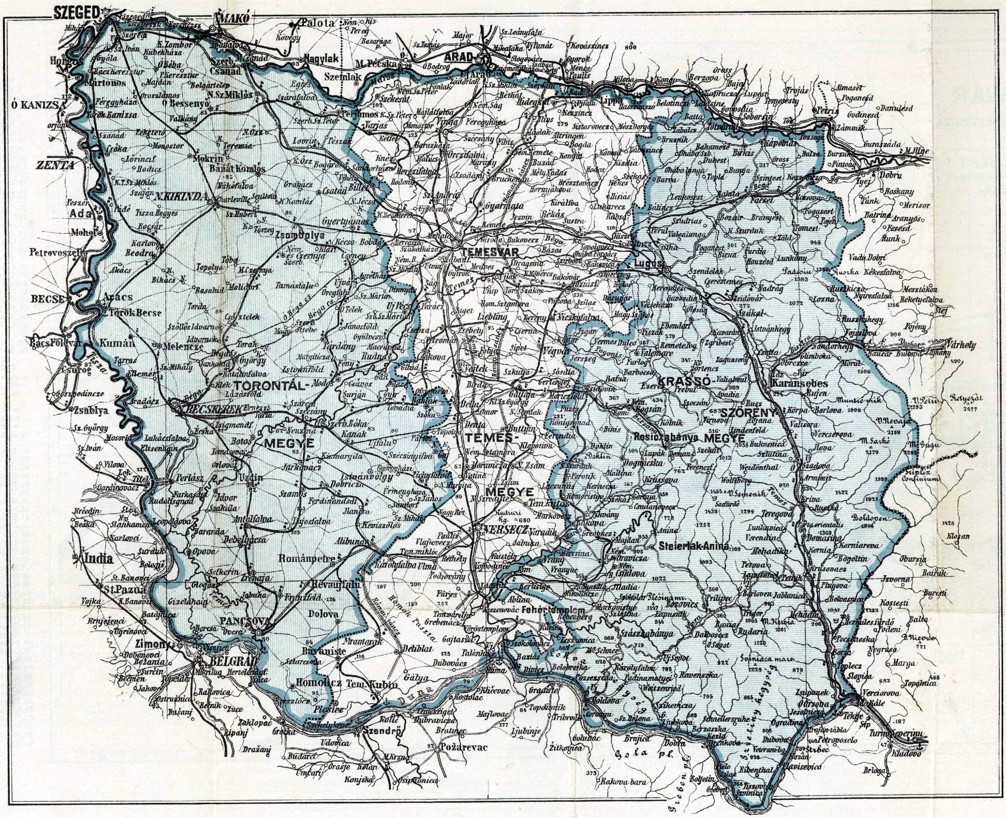
http://www.genealogy.ro/cont/map_banat2.jpg
1941 Romanian population of Serbian Banat(number)http://historymaps.ro/?p=1885
2004 Serbian map, Romanians from Banat are in pink http://tinyurl._com/odbxwlp
2008? Voivodina map(Romanians in purple) http://tinyurl._com/qfjojh6
1743 Banat Ethnic map(Romanians in red) http://tinyurl._com/qe738s8
1941 Romanian Ethnic map(by county's) http://historymaps.ro/?p=246
2011 Romania Census map http://historymaps.ro/?p=2274
•Crişana:
I drew her in the natural borders, as viewed by Romanians.
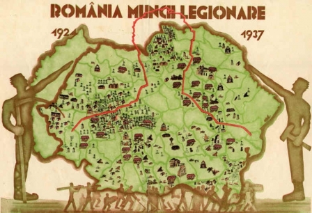
http://www.apologeticum.ro/wp-content/uploads/2013/11/harta-romaniei-legionare-romania-mare.jpg
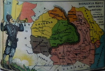
http://4.bp.blogspot.com/-vadfSw4f1oY/T82ycNIdV9I/AAAAAAAAGQ0/c9Qjyc3YAqo/s1600/Rom%25C3%25A2nia+Mare+-+Harta+ideal%25C4%2583+a+na%25C5%25A3iunii.jpg
Ethnic situation:
2011 Romanian Census http://historymaps.ro/?p=2274
2002 Census, Arad http://historymaps.ro/?p=1555, Bihor http://historymaps.ro/?p=1558, Satu Mare http://historymaps.ro/?p=1581, Sălaj http://historymaps.ro/?p=1579
1880 Hungarian Census(Romanians inside current Hungarian Borders) http://historymaps.ro/?p=2536
•Oltenia:
https://balaurulroman.files.wordpress.com/2014/02/karte-von-der-walachei-moldau-und-bessarabien-schmid-jakob-f_br.jpg (Base map)
•Dobrogea:
Drew as part of Romanian Kingdom in interwar period.
Ethnic situation:
1900 North Part http://historymaps.ro/?p=3240
1910 South Part http://historymaps.ro/?p=2936
1930 South Part http://historymaps.ro/?p=2969
Today, in the southern part of the province, after the exchange of populations, there are very few Romanians, no community.
2002 Constanţa County http://historymaps.ro/?p=1678
2002 Tulcea COunty http://historymaps.ro/?p=1680
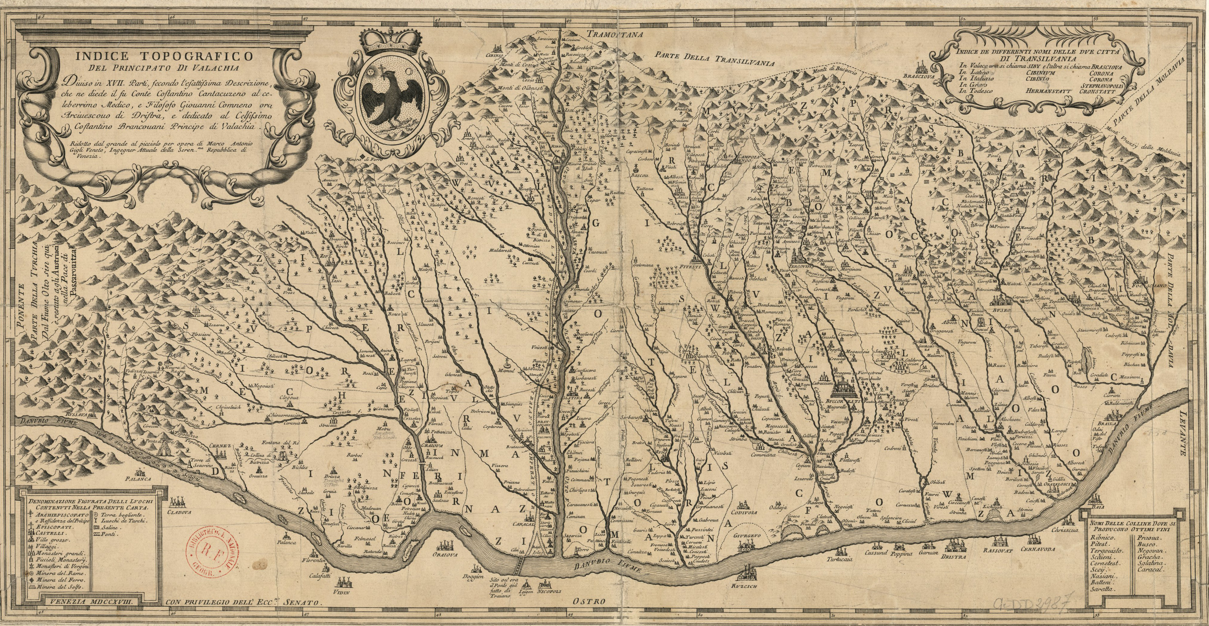
•Muntenia:
http://upload.wikimedia.org/wikipedia/commons/0/09/Cantacuzino_Wallachia.png (Used to find the old border between Oltenia and Muntenia in Ţara Loviştei region)
http://2.bp.blogspot.com/-83luvIFfFfo/UpsR5WxF2TI/AAAAAAAA008/I_j7WlbsNtc/s1600/grunenberg_wappenbuch_Page_178_Walachia.jpg
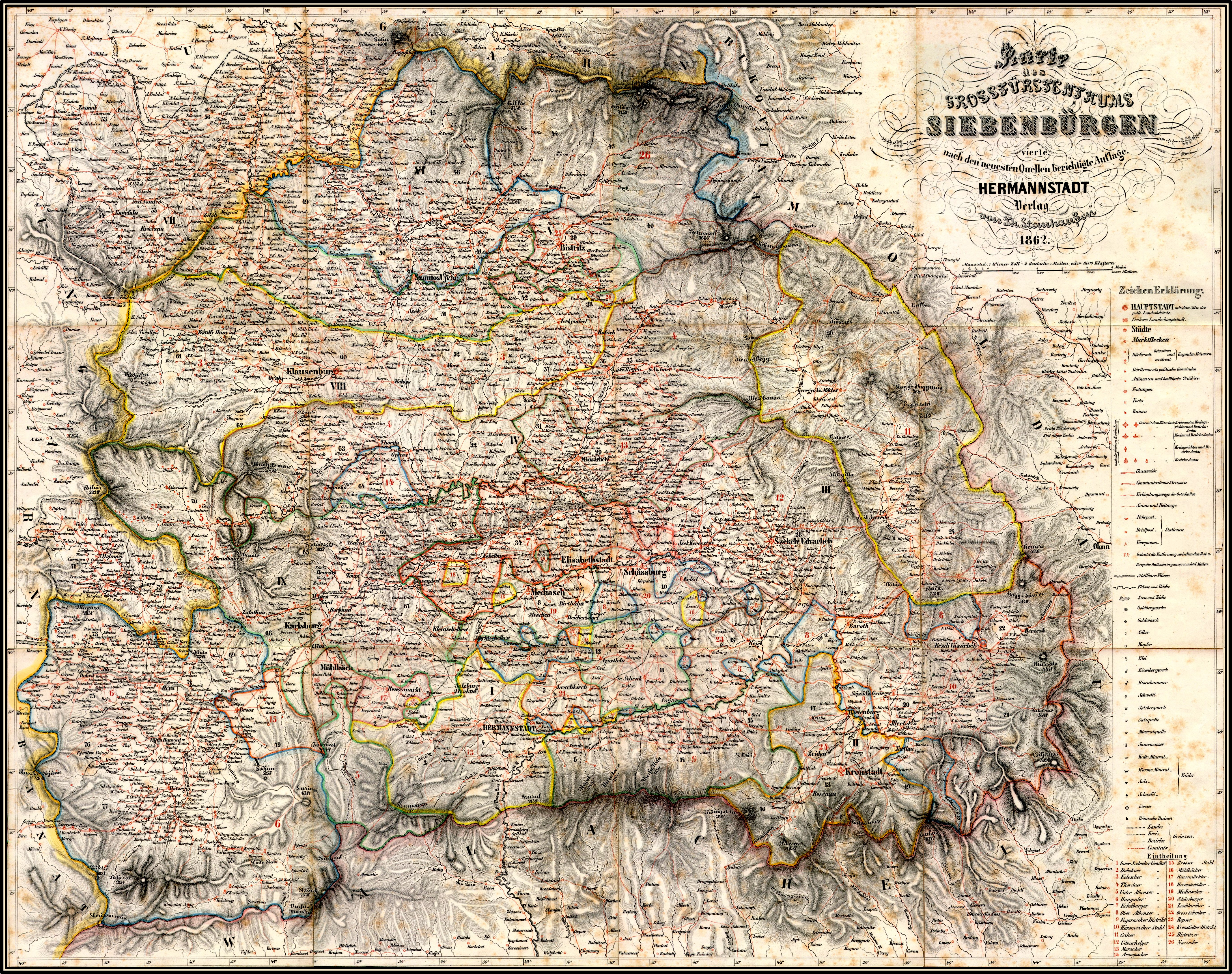
•Ardeal:
http://upload.wikimedia.org/wikipedia/commons/a/ad/Gro%C3%9Ff%C3%BCrstentum_Siebenb%C3%BCrgen_1862.jpg (Base map)
https://nelucraciun.files.wordpress.com/2011/02/extrasislede17031.jpg (used to recover the old border lines berwen Jibou and Maramureş)
http://upload.wikimedia.org/wikipedia/commons/6/6d/Gesta_hungarorum_map.jpg (used recover the old border lines betwen Jibou and Maramureş)
•Marmaţia.[1]:
Drew as what House of Dolha, Cuhea and Câmpulung ruled in middle ages, where Romanians lived, mainly Bârjava County prior 1280 and Maramureş County prior 1918( with pars of Bârjava County not incuded).
http://upload.wikimedia.org/wikipedia/commons/1/16/BisericaVeche.jpg
Marian Nicolae Tomi,Maramureșul istoric în date, Editura Grinta ,2005 (Used to find the names and capitals)
Ioan Mihalyi, Diplome Maramureșene din secolele XIV și XV, Sighet, 1900 (Used to find the west limit of romanians medieval living area, and to drew the south and east borders, used to find the old name)
Prof. Alexandru Filipașcu de Dolha și Petrova, Istoria Maramureșului, Editura „Gutinul”, Baia Mare, 1997 (Used to find the names and capitals)
Ethnic situation:
2001 Transcarpathia Census http://historymaps.ro/?p=2361, http://historymaps.ro/?p=2343
2002 Maramureş(whole modern county) Census Map http://historymaps.ro/?p=1575
Other maps, not used:
http://upload.wikimedia.org/wikipedia/commons/f/f4/Ardeal_si_Bucovina.JPG
http://upload.wikimedia.org/wikipedia/commons/a/a0/Romania_si_Dacia_moderna_1868.JPG
https://upload.wikimedia.org/wikipedia/commons/d/dc/Rum%C3%A2nia_v%C4%83zut%C4%83_de_Cezar_Bolliac.jpg
http://roncea.ro/wp-content/uploads/2013/04/Great-Romania-Mare-Harta-de-G-Pop-cu-Basarabia-si-Bucovina.jpg 


