
Tập tin:Orkney Islands UK location map.svg

Kích thước bản xem trước PNG này của tập tin SVG: 467×599 điểm ảnh. Độ phân giải khác: 187×240 điểm ảnh | 374×480 điểm ảnh | 599×768 điểm ảnh | 798×1.024 điểm ảnh | 1.596×2.048 điểm ảnh | 1.110×1.424 điểm ảnh.
Tập tin gốc (tập tin SVG, 1.110×1.424 điểm ảnh trên danh nghĩa, kích thước: 2,02 MB)
Tập tin này từ Wikimedia Commons. Trang miêu tả nó ở đấy được sao chép dưới đây. Commons là kho lưu trữ tập tin phương tiện có giấy phép tự do. Bạn có thể tham gia. |
| Miêu tả |
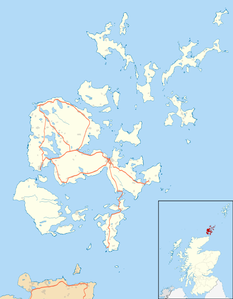
Blank map of the Orkney Islands (excluding Sule Stack and Sule Skerry), UK with the following information shown:
Equirectangular map projection on WGS 84 datum, with N/S stretched 180% Geographic limits:
|
| Ngày | |
| Nguồn gốc |
|
| Tác giả | Nilfanion, created using Ordnance Survey data |
| Giấy phép (Dùng lại tập tin) |
Tập tin này được phát hành theo Giấy phép Creative Commons Ghi công - Chia sẻ tương tự 3.0 Chưa chuyển đồi Ghi công: Contains Ordnance Survey data © Crown copyright and database right
|
| Phiên bản khác | Orkney Islands UK blank map.svg - Blank map |
| SVG genesis | Mã nguồn của tập tin SVG này không hợp lệ do một lỗi. |
Lịch sử tập tin
Nhấn vào ngày/giờ để xem nội dung tập tin tại thời điểm đó.
| Ngày/giờ | Hình xem trước | Kích cỡ | Thành viên | Miêu tả | |
|---|---|---|---|---|---|
| hiện tại | 20:21, ngày 26 tháng 9 năm 2010 | | 1.110×1.424 (2,02 MB) | Nilfanion | {{Information |Description=Blank map of the Orkney Islands (excluding Sule Stack and Sule Skerry), UK with the following information shown: *Administrative borders *Coastline, lakes and rivers *Roads |
Trang sử dụng tập tin
Có 2 trang tại Wikipedia tiếng Việt có liên kết đến tập tin (không hiển thị trang ở các dự án khác):
Sử dụng tập tin toàn cục
Những wiki sau đang sử dụng tập tin này:
- Trang sử dụng tại ar.wikipedia.org
- Trang sử dụng tại bg.wikipedia.org
- Trang sử dụng tại ceb.wikipedia.org
- Trang sử dụng tại de.wikipedia.org
- Trang sử dụng tại en.wikipedia.org
- Maeshowe
- Orkney
- Skara Brae
- Ring of Brodgar
- Kirkwall
- Stromness
- List of monastic houses in Scotland
- North Caledonian Football Association
- Stones of Stenness
- Barnhouse Settlement
- St Margaret's Hope
- Kirkwall Airport
- St Magnus Cathedral
- Evie, Orkney
- Earl's Palace, Kirkwall
- Bishop's Palace, Kirkwall
- Whitehall, Orkney
- Westray Airport
- Longhope, Orkney
- Voy
- Finstown
- Eday Airport
- North Ronaldsay Airport
- Papa Westray Airport
- Sanday Airport
- Stronsay Airport
- Herston, Orkney
- Burroughston Broch
- Balfour, Orkney
- Houton
- Lyness
- Bimbister
- Ancumtoun
- Backaland
Xem thêm các trang toàn cục sử dụng tập tin này.