
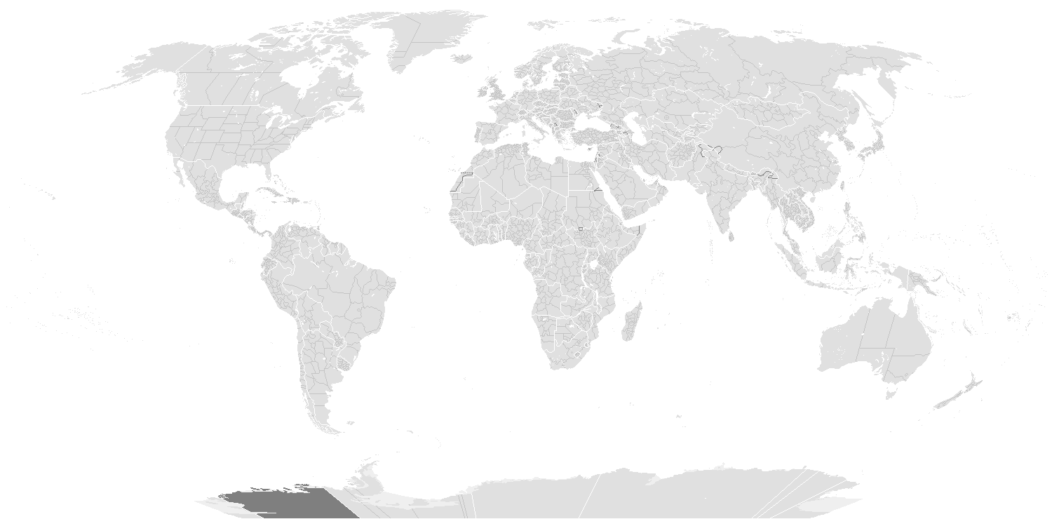
Tập tin:BlankMap-World-Subdivisions.PNG
Kích thước hình xem trước: 800×395 điểm ảnh. Độ phân giải khác: 320×158 điểm ảnh | 640×316 điểm ảnh | 1.500×740 điểm ảnh.
Tập tin gốc (1.500×740 điểm ảnh, kích thước tập tin: 118 kB, kiểu MIME: image/png)
Tập tin này từ Wikimedia Commons. Trang miêu tả nó ở đấy được sao chép dưới đây. Commons là kho lưu trữ tập tin phương tiện có giấy phép tự do. Bạn có thể tham gia. |

|
Hiện có một phiên bản với định dạng vector của hình này (SVG).
Nên sử dụng nó thay cho hình raster này khi cần nó chi tiết hơn. File:BlankMap-World-Subdivisions.PNG → File:Blank Map World Secondary Political Divisions.svg
Để biết thêm thông tin về đồ họa vector, mời đọc về Chuyển sang SVG của Commons. Cũng có thông tin về sự hỗ trợ hình ảnh SVG của MediaWiki. |
 |
h
Miêu tả
| Miêu tả |
English: A blank world map showing subdivisions of the world. Areas in black boxes are unrecognized countries or disputed territories (Kashmir). Feel free to fix subdivisions (mainly Russia, Mongolia, and Kazakhstan. If you use the subdivision maps for any other image I strongly advise changing the subdivision colours to suit your purposes (eg. In Photoshop use the bucket of paint thing with contiguous and anti-alias turned off and click on any subdivision border with your preferred colour.) The colours chosen here are to differentiate the types of borders, not dictate use.
Français : Carte du monde vierge montrant les subdivisions de premier niveau de chaque pays. Les régions encadrées en noir montrent des États non reconnus ou des territoires disputés (comme le Cachemire. Ne vous gênez pas pour arranger certaines limites de subdivisions — notamment en Russie, en Mongolie et au Kazakhstan. Si vous utilisez cette carte pour faire une autre image, il vous est vivement conseillé d’en changer les couleurs pour qu’elles conviennent à votre usage ; ces couleurs-ci ne sont choisies que pour distinguer les différents types de frontières. |
||
| Ngày | |||
| Nguồn gốc |
|
||
| Tác giả |
English: see upload log? |
||
| Giấy phép (Dùng lại tập tin) |
|
||
| Phiên bản khác | Derivative works of this file: BlankMap-World-Subdivisions1.png |
Key
|
Water-bodies
Landmasses
Unclaimed Landmasses
National Borders
Subnational Borders
|
Colours
| Name | Decimal | Hex | |
| Water-bodies: | 255,255,255 | #FFFFFF | |
| Landmasses: | 224,224,224 | #E0E0E0 | |
| Unclaimed Landmasses: | 127,127,127 | #7F7F7F | |
| National Borders: | 255,255,255 | #FFFjjj | |
| Subnational Borders: | 202,202,202 | #CACACA |
| Annotations | This image is annotated: View the annotations at Commons |
Lịch sử tập tin
Nhấn vào ngày/giờ để xem nội dung tập tin tại thời điểm đó.
| Ngày/giờ | Hình xem trước | Kích cỡ | Thành viên | Miêu tả | |
|---|---|---|---|---|---|
| hiện tại | 22:36, ngày 14 tháng 3 năm 2020 | | 1.500×740 (118 kB) | Dylmur | Reverted to version as of 18:58, 14 March 2020 (UTC) hopefully this works again |
| 19:00, ngày 14 tháng 3 năm 2020 |  | 1.500×740 (91 kB) | Dylmur | Reverted to version as of 00:56, 29 October 2017 (UTC) didn’t work | |
| 18:58, ngày 14 tháng 3 năm 2020 |  | 1.500×740 (118 kB) | Dylmur | Ladakh (2019) | |
| 00:56, ngày 29 tháng 10 năm 2017 |  | 1.500×740 (91 kB) | Erhik | Golan Heights | |
| 00:25, ngày 29 tháng 10 năm 2017 |  | 1.500×740 (91 kB) | Erhik | Minor adjustments in Oceania, Ukraine. | |
| 11:27, ngày 10 tháng 10 năm 2017 |  | 1.500×740 (104 kB) | Expertseeker90 | Major overhall to the projection! Continents, coastlines, national boundary and internal boundaries fixed. Islands, atolls and reefs added or adjusted! | |
| 21:34, ngày 4 tháng 7 năm 2017 |  | 1.500×740 (100 kB) | Forthrunner | Catalonia isn't independent | |
| 09:47, ngày 21 tháng 7 năm 2016 |  | 1.500×740 (67 kB) | Simonsyo | Added British Regions. | |
| 18:21, ngày 19 tháng 1 năm 2016 |  | 1.500×740 (67 kB) | Userboker | Added new French regions as of 2016, fixed Catalonia being represented as independent | |
| 14:58, ngày 16 tháng 12 năm 2014 |  | 1.500×740 (83 kB) | Ransewiki | Did not work last time. |
Trang sử dụng tập tin
Chưa có trang nào ở Wikipedia tiếng Việt liên kết đến tập tin này.
Sử dụng tập tin toàn cục
Những wiki sau đang sử dụng tập tin này:
- Trang sử dụng tại de.wikipedia.org
- Vorwahlergebnisse der Präsidentschaftswahl in den Vereinigten Staaten 2008
- Vorwahlergebnisse der Präsidentschaftswahl in den Vereinigten Staaten 2016
- Vorwahlergebnisse der Präsidentschaftswahl in den Vereinigten Staaten 2020
- Vorwahlergebnisse der Präsidentschaftswahl in den Vereinigten Staaten 2024
- Benutzer:Sarkana/Vorwahlergebnisse 2024
- Trang sử dụng tại en.wikipedia.org
- Trang sử dụng tại fr.wikipedia.org
- Trang sử dụng tại sv.wikipedia.org
- Trang sử dụng tại zh.wikipedia.org