
Tập tin:Europe location N-IRL2.png
Kích thước hình xem trước: 800×600 điểm ảnh. Độ phân giải khác: 320×240 điểm ảnh | 640×480 điểm ảnh | 1.024×768 điểm ảnh | 1.280×960 điểm ảnh | 1.600×1.200 điểm ảnh.
Tập tin gốc (1.600×1.200 điểm ảnh, kích thước tập tin: 772 kB, kiểu MIME: image/png)
Tập tin này từ Wikimedia Commons. Trang miêu tả nó ở đấy được sao chép dưới đây. Commons là kho lưu trữ tập tin phương tiện có giấy phép tự do. Bạn có thể tham gia. |
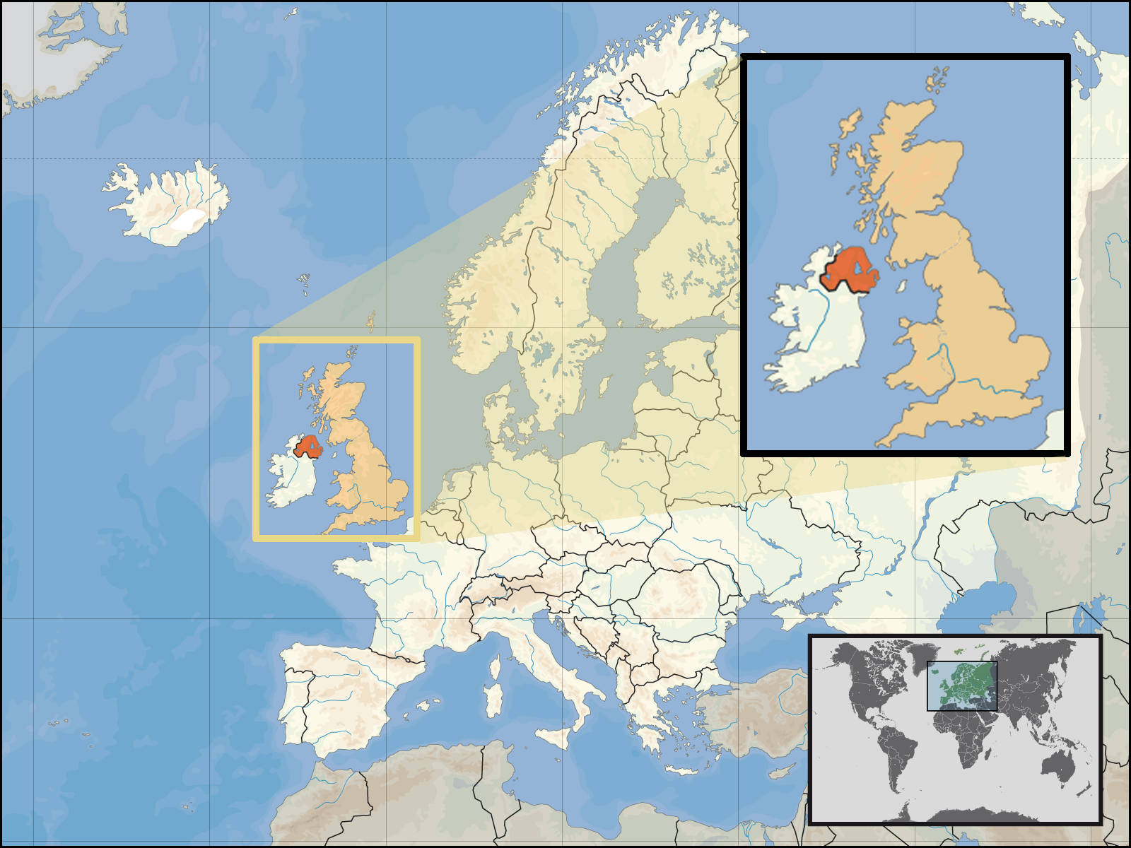
| Miêu tả | Location of Northern Ireland in the UK and Europe, on terrain map showing surface and underwater contour areas. | |||
| Ngày | ||||
| Nguồn gốc | Derived from Wikimedia Commons image of original work forming part of the "Europe location" map series created by David Liuzzo: derived from Image:Europe_location_N-IRL.png. | |||
| Tác giả | uploaded by User:Kmusser (excerpt from User:David_Liuzzo) | |||
| Giấy phép (Dùng lại tập tin) |
|
|||
| Phiên bản khác |
|


Lịch sử tập tin
Nhấn vào ngày/giờ để xem nội dung tập tin tại thời điểm đó.
| Ngày/giờ | Hình xem trước | Kích cỡ | Thành viên | Miêu tả | |
|---|---|---|---|---|---|
| hiện tại | 19:05, ngày 29 tháng 9 năm 2008 | | 1.600×1.200 (772 kB) | Kmusser | {{Information |Description= Location of Northern Ireland in the UK and Europe, on terrain map showing surface and underwater contour areas. |Source=Derived from Wikimedia Commons image of original work forming part of the "Europe location" map |
Trang sử dụng tập tin
Chưa có trang nào ở Wikipedia tiếng Việt liên kết đến tập tin này.
Sử dụng tập tin toàn cục
Những wiki sau đang sử dụng tập tin này:
- Trang sử dụng tại an.wikipedia.org
- Trang sử dụng tại az.wiktionary.org
- Trang sử dụng tại en.wikipedia.org
- Trang sử dụng tại eu.wiktionary.org
- Trang sử dụng tại fa.wikipedia.org
- Trang sử dụng tại fr.wikipedia.org
- Trang sử dụng tại gom.wikipedia.org
- Trang sử dụng tại gu.wikipedia.org
- Trang sử dụng tại gv.wikipedia.org
- Trang sử dụng tại id.wikipedia.org
- Trang sử dụng tại kn.wikipedia.org
- Trang sử dụng tại ko.wikipedia.org
- Trang sử dụng tại ml.wikipedia.org
- Trang sử dụng tại nds-nl.wikipedia.org
- Trang sử dụng tại nov.wikipedia.org
- Trang sử dụng tại pl.wikipedia.org
- Trang sử dụng tại pl.wiktionary.org
- Trang sử dụng tại simple.wikipedia.org
- Trang sử dụng tại sr.wikinews.org
- Trang sử dụng tại tet.wikipedia.org
- Trang sử dụng tại th.wikipedia.org
- Trang sử dụng tại tpi.wikipedia.org
- Trang sử dụng tại tr.wiktionary.org
- Trang sử dụng tại war.wikipedia.org