
Tập tin:Vicksburg harbor aerial view.jpg

Kích thước hình xem trước: 800×533 điểm ảnh. Độ phân giải khác: 320×213 điểm ảnh | 640×427 điểm ảnh | 1.024×683 điểm ảnh | 1.500×1.000 điểm ảnh.
Tập tin gốc (1.500×1.000 điểm ảnh, kích thước tập tin: 515 kB, kiểu MIME: image/jpeg)
Tập tin này từ Wikimedia Commons. Trang miêu tả nó ở đấy được sao chép dưới đây. Commons là kho lưu trữ tập tin phương tiện có giấy phép tự do. Bạn có thể tham gia. |
| Miêu tả |
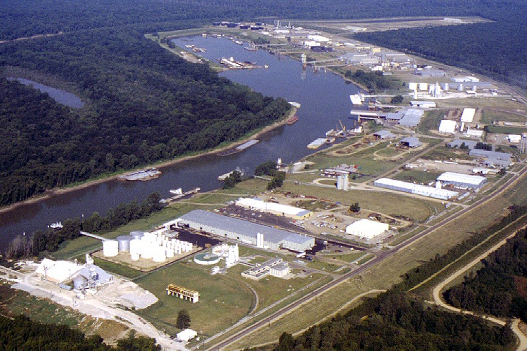
English: Aerial view of the Vicksburg Harbor, which is located on an arm of the Mississippi River at Vicksburg, Mississippi, USA. The harbor is located north of the main part of the city. View is to the west-northwest. |
|||
| Ngày | ||||
| Nguồn gốc |
U.S. Army Corps of Engineers Digital Visual Library Image page Image description page Digital Visual Library home page |
|||
| Tác giả | Brad Emerson, U.S. Army Corps of Engineers | |||
| Giấy phép (Dùng lại tập tin) |
|
|||
| Vị trí | Vicksburg, Mississippi, USA |
| Vị trí máy chụp hình | | Xem hình này và các hình ảnh lân cận trên: OpenStreetMap |
|---|
Lịch sử tập tin
Nhấn vào ngày/giờ để xem nội dung tập tin tại thời điểm đó.
| Ngày/giờ | Hình xem trước | Kích cỡ | Thành viên | Miêu tả | |
|---|---|---|---|---|---|
| hiện tại | 00:52, ngày 6 tháng 4 năm 2007 | | 1.500×1.000 (515 kB) | DanMS | {{Information | Description = {{en|Aerial view of the Vicksburg Harbor, which is located on an arm of the Mississippi River at Vicksburg, Mississippi, USA. The harbor is located north of the main part of the city. View is to the west-northwest.}} | |
Trang sử dụng tập tin
Có 1 trang tại Wikipedia tiếng Việt có liên kết đến tập tin (không hiển thị trang ở các dự án khác):
Sử dụng tập tin toàn cục
Những wiki sau đang sử dụng tập tin này:
- Trang sử dụng tại fa.wikipedia.org
- Trang sử dụng tại ja.wikipedia.org
- Trang sử dụng tại la.wikipedia.org
- Trang sử dụng tại ru.wikipedia.org
- Trang sử dụng tại sh.wikipedia.org
- Trang sử dụng tại sr.wikipedia.org
- Trang sử dụng tại uz.wikipedia.org
- Trang sử dụng tại zh.wikipedia.org