
Tập tin:Prunella laciniata range map.png
Không có độ phân giải cao hơn.
Prunella_laciniata_range_map.png (650×540 điểm ảnh, kích thước tập tin: 38 kB, kiểu MIME: image/png)
Tập tin này từ Wikimedia Commons. Trang miêu tả nó ở đấy được sao chép dưới đây. Commons là kho lưu trữ tập tin phương tiện có giấy phép tự do. Bạn có thể tham gia. |
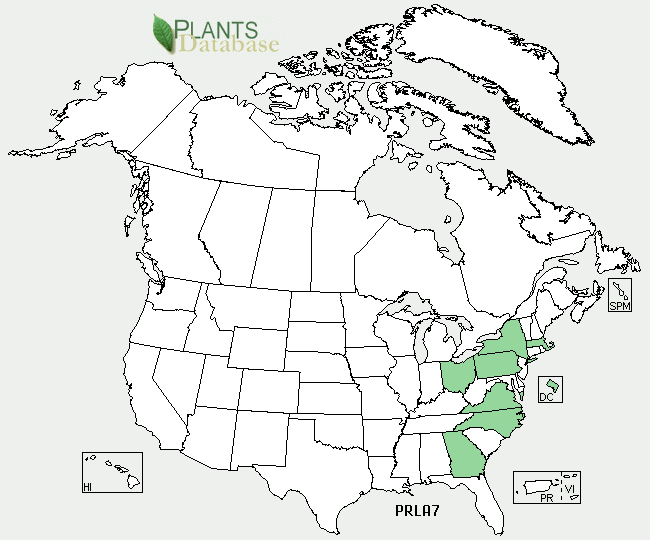
Miêu tả
| Miêu tả |
English: Prunella laciniata range map |
| Nguồn gốc | http://plants.usda.gov/java/profile?symbol=PRLA7 |
| Tác giả | USDA |
Giấy phép
| This image is a work of the Natural Resources Conservation Service, part of the United States Department of Agriculture, taken or made as part of an employee's official duties. As a work of the U.S. federal government, the image is in the public domain in the United States. |
Nhật trình tải lên đầu tiên
Chuyển từ en.wikipedia sang Commons by Quadell using CommonsHelper.
Trang miêu tả gốc từng tồn tại ở đây. Tất cả các tên người dùng sau là tên người dùng tại en.wikipedia.
- 2009-12-15 19:50 Ecologygirl 650×540× (38519 bytes) {{Information |Description = Prunella laciniata range map |Source = http://plants.usda.gov/java/profile?symbol=PRLA7 |Date = ~~~~~ |Author = [[USDA]] |Permission = |other_versions = }} == Licensing == {{PD-USGov-U
Lịch sử tập tin
Nhấn vào ngày/giờ để xem nội dung tập tin tại thời điểm đó.
| Ngày/giờ | Hình xem trước | Kích cỡ | Thành viên | Miêu tả | |
|---|---|---|---|---|---|
| hiện tại | 14:14, ngày 9 tháng 9 năm 2011 | | 650×540 (38 kB) | File Upload Bot (Magnus Manske) | {{BotMoveToCommons|en.wikipedia|year={{subst:CURRENTYEAR}}|month={{subst:CURRENTMONTHNAME}}|day={{subst:CURRENTDAY}}}} {{Information |Description={{en|Prunella laciniata range map}} |Source=Transferred from [http://en.wikipedia.org en.wikipedia]; transfe |
Trang sử dụng tập tin
Có 1 trang tại Wikipedia tiếng Việt có liên kết đến tập tin (không hiển thị trang ở các dự án khác):
Sử dụng tập tin toàn cục
Những wiki sau đang sử dụng tập tin này:
- Trang sử dụng tại ceb.wikipedia.org
- Trang sử dụng tại cy.wikipedia.org
- Trang sử dụng tại en.wikipedia.org
- Trang sử dụng tại fa.wikipedia.org