
Tập tin:Süderoogsand.png
Không có độ phân giải cao hơn.
Süderoogsand.png (591×576 điểm ảnh, kích thước tập tin: 1.000 kB, kiểu MIME: image/png)
Tập tin này từ Wikimedia Commons. Trang miêu tả nó ở đấy được sao chép dưới đây. Commons là kho lưu trữ tập tin phương tiện có giấy phép tự do. Bạn có thể tham gia. |
Miêu tả
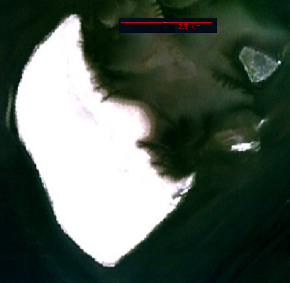
Source: http://permanent.access.gpo.gov/websites/pollux/pollux.nss.nima.mil/NAV_PUBS/SD/pub192/192sec09.pdf, page 200 bottom right, png extraction from pdf document displayed at 100 %, created by National Imagery and Mapping Agency (NIMA)
Giấy phép
This image is a work of the United States National Geospatial-Intelligence Agency or one of its predecessor agencies. As a work of the U.S. federal government, the image is in the public domain.
|
 |
| Annotations | This image is annotated: View the annotations at Commons |
Lịch sử tập tin
Nhấn vào ngày/giờ để xem nội dung tập tin tại thời điểm đó.
| Ngày/giờ | Hình xem trước | Kích cỡ | Thành viên | Miêu tả | |
|---|---|---|---|---|---|
| hiện tại | 22:12, ngày 20 tháng 11 năm 2006 | | 591×576 (1.000 kB) | Ratzer | NASA World Wind screenshot |
| 19:59, ngày 11 tháng 10 năm 2006 |  | 109×169 (19 kB) | Ratzer | Source: http://permanent.access.gpo.gov/websites/pollux/pollux.nss.nima.mil/NAV_PUBS/SD/pub192/192sec09.pdf, page 200 bottom right, png extraction from pdf document displayed at 100 %, created by National Imagery and Mapping Agency (NIMA) |
Trang sử dụng tập tin
Có 2 trang tại Wikipedia tiếng Việt có liên kết đến tập tin (không hiển thị trang ở các dự án khác):
Sử dụng tập tin toàn cục
Những wiki sau đang sử dụng tập tin này:
- Trang sử dụng tại da.wikipedia.org
- Trang sử dụng tại de.wikipedia.org
- Trang sử dụng tại en.wikipedia.org
- Trang sử dụng tại frr.wikipedia.org
- Trang sử dụng tại fy.wikipedia.org
- Trang sử dụng tại mk.wikipedia.org