
Tập tin:Wiltshire UK relief location map.jpg
Kích thước hình xem trước: 492×600 điểm ảnh. Độ phân giải khác: 197×240 điểm ảnh | 394×480 điểm ảnh | 630×768 điểm ảnh | 840×1.024 điểm ảnh | 2.005×2.444 điểm ảnh.
Tập tin gốc (2.005×2.444 điểm ảnh, kích thước tập tin: 508 kB, kiểu MIME: image/jpeg)
Tập tin này từ Wikimedia Commons. Trang miêu tả nó ở đấy được sao chép dưới đây. Commons là kho lưu trữ tập tin phương tiện có giấy phép tự do. Bạn có thể tham gia. |
| Miêu tả |
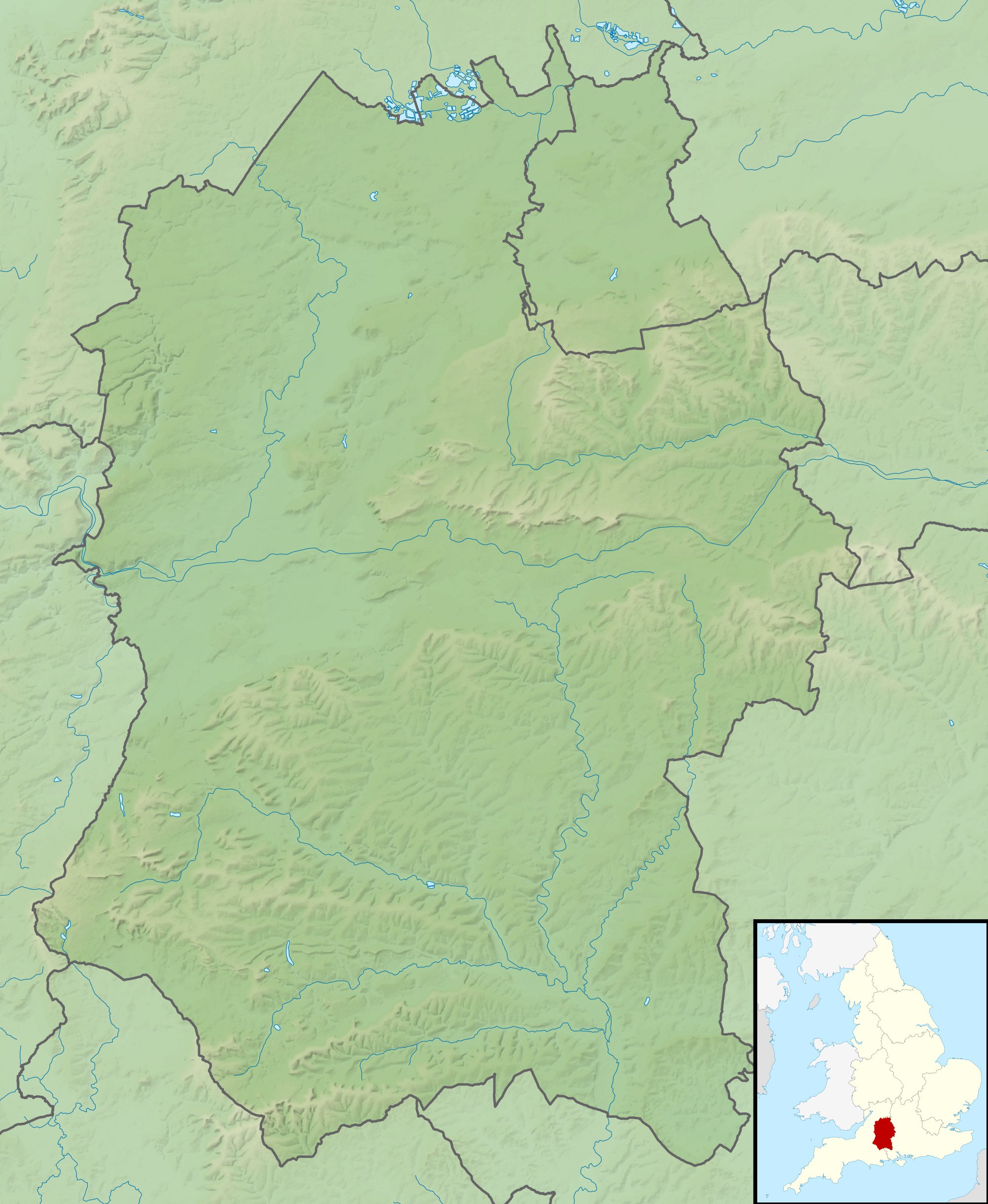
Relief map of Wiltshire, UK. Equirectangular map projection on WGS 84 datum, with N/S stretched 160% Geographic limits:
|
| Ngày | |
| Nguồn gốc |
|
| Tác giả | Nilfanion, created using Ordnance Survey data |
| Giấy phép (Dùng lại tập tin) |
Tập tin này được phát hành theo Giấy phép Creative Commons Ghi công - Chia sẻ tương tự 3.0 Chưa chuyển đồi Ghi công: Contains Ordnance Survey data © Crown copyright and database right
|
| Phiên bản khác | File:Wiltshire UK district map (blank).svg - Blank map |
.svg)
Lịch sử tập tin
Nhấn vào ngày/giờ để xem nội dung tập tin tại thời điểm đó.
| Ngày/giờ | Hình xem trước | Kích cỡ | Thành viên | Miêu tả | |
|---|---|---|---|---|---|
| hiện tại | 02:03, ngày 29 tháng 11 năm 2011 | | 2.005×2.444 (508 kB) | Nilfanion | {{Information |Description=Relief map of Wiltshire, UK. Equirectangular map projection on WGS 84 datum, with N/S stretched 160% Geographic limits: *West: 2.40W *East: 1.35W *North: 51.72N *South: 50.92N |Source=[[w:Ordnance Survey|Ordnan |
Trang sử dụng tập tin
Có 1 trang tại Wikipedia tiếng Việt có liên kết đến tập tin (không hiển thị trang ở các dự án khác):
Sử dụng tập tin toàn cục
Những wiki sau đang sử dụng tập tin này:
- Trang sử dụng tại ar.wikipedia.org
- Trang sử dụng tại bg.wikipedia.org
- Trang sử dụng tại bh.wikipedia.org
- Trang sử dụng tại ceb.wikipedia.org
- Trang sử dụng tại cy.wikipedia.org
- Trang sử dụng tại en.wikipedia.org
- River Avon, Hampshire
- Battle of Roundway Down
- Avebury
- Stourhead
- Windmill Hill, Avebury
- The Sanctuary
- Kennet Avenue
- Stonehenge Landscape
- Fonthill Lake
- Shearwater (lake)
- Milk Hill
- Cunetio
- Win Green Down
- Wilton Water
- White Barrow
- Vespasian's Camp
- Battle of Aldbourne Chase
- Bluestonehenge
- Overton Hill
- Challenge Tour Championship
- Martinsell Hill
- River Sem
- Module:Location map/data/United Kingdom Wiltshire
- Module:Location map/data/Wiltshire
- Module:Location map/data/United Kingdom Wiltshire/doc
- Poisoning of Sergei and Yulia Skripal
- Roundway Park
- Siege of Wardour Castle
- Alvediston Manor
- Bath House at Corsham Court
- Moat House, Britford
- Trang sử dụng tại es.wikipedia.org
- Trang sử dụng tại fa.wikipedia.org
Xem thêm các trang toàn cục sử dụng tập tin này.