
Tập tin:Philippines relief location map.jpg
Kích thước hình xem trước: 454×599 điểm ảnh. Độ phân giải khác: 182×240 điểm ảnh | 364×480 điểm ảnh | 582×768 điểm ảnh | 776×1.024 điểm ảnh | 1.871×2.468 điểm ảnh.
Tập tin gốc (1.871×2.468 điểm ảnh, kích thước tập tin: 1,23 MB, kiểu MIME: image/jpeg)
Tập tin này từ Wikimedia Commons. Trang miêu tả nó ở đấy được sao chép dưới đây. Commons là kho lưu trữ tập tin phương tiện có giấy phép tự do. Bạn có thể tham gia. |
| Miêu tả |
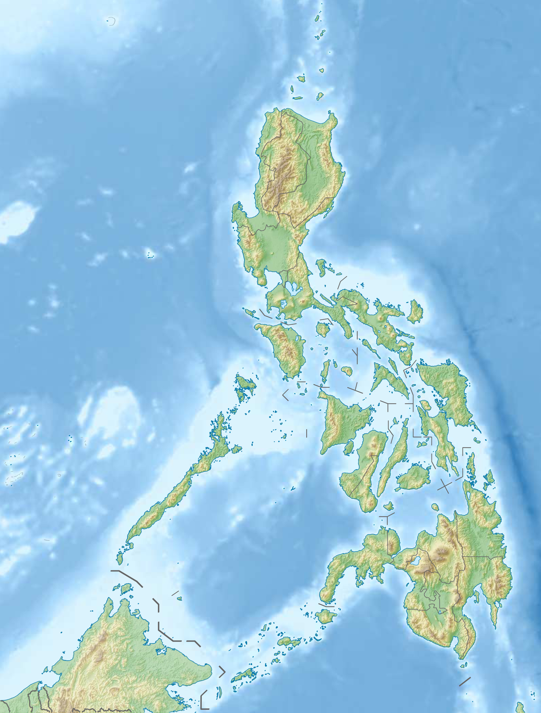
Deutsch: Physische Positionskarte der Philippinen
Quadratische Plattkarte, N-S-Streckung 103 %. Geographische Begrenzung der Karte:
English: Physical location map of the Philippines
Equirectangular projection, N/S stretching 103 %. Geographic limits of the map:
|
| Ngày | |
| Nguồn gốc |
Tác phẩm được tạo bởi người tải lên, using
|
| Tác giả | Carport |
| Giấy phép (Dùng lại tập tin) |
Tập tin này được phát hành theo Giấy phép Creative Commons Ghi công - Chia sẻ tương tự 3.0 Chưa chuyển đồi
|
| Phiên bản khác |
Derivative works of this file: 2013 Lahad Datu standoff.svg
|


|
Hiện có một phiên bản với định dạng vector của hình này (SVG).
Nên sử dụng nó thay cho hình raster này khi cần nó chi tiết hơn. File:Philippines relief location map.jpg → File:Philippines relief location map (square).svg
Để biết thêm thông tin về đồ họa vector, mời đọc về Chuyển sang SVG của Commons. Cũng có thông tin về sự hỗ trợ hình ảnh SVG của MediaWiki. |
.svg) |
Lịch sử tập tin
Nhấn vào ngày/giờ để xem nội dung tập tin tại thời điểm đó.
| Ngày/giờ | Hình xem trước | Kích cỡ | Thành viên | Miêu tả | |
|---|---|---|---|---|---|
| hiện tại | 15:07, ngày 31 tháng 12 năm 2012 | | 1.871×2.468 (1,23 MB) | Carport | {{Information |Description= {{de|Physische Positionskarte der Philippinen}} Quadratische Plattkarte, N-S-Streckung 103 %. Geographische Begrenzung der Karte: * N: 21.2° N * S: 4.3° N * W: 114.1° O * O: 127.3° O {{en|Physical loc... |
Trang sử dụng tập tin
Chưa có trang nào ở Wikipedia tiếng Việt liên kết đến tập tin này.
Sử dụng tập tin toàn cục
Những wiki sau đang sử dụng tập tin này:
- Trang sử dụng tại az.wikipedia.org
- Jolo adası
- Apo dağı
- Şablon:Yer xəritəsi Filippin
- Suriqao boğazı
- Luzon boğazı
- Kamotes dənizi
- Luson adası
- Mindanao
- Tayabas bərzəxi
- Samar
- Leyte
- Mindoro
- Luzon adaları
- Palavan
- Panay
- Neqros
- Visay adaları
- Mindanao adaları
- Batan adası
- Tubabao
- Marinduke
- Bohol
- Lubanq adası
- Romblon adası
- Biliran adası
- Borakay
- Maktan adası
- Siarqao adası
- Babuyan arxipelaqı
- Panqlao
- Lubanq arxipelaqı
- Mastabe adası
- Sibutu adası
- Sulu arxipelaqı
- Kalamian adaları
- Basilan
- Koron adası
- Sibuyan adası
- Bohol adası
- Sebu adası
- Leonard Knyazev vulkanı
- Taal gölü
- Trang sử dụng tại be.wikipedia.org
Xem thêm các trang toàn cục sử dụng tập tin này.